“Trust that little voice in your head that says “wouldn’t it be interesting if….” And then do it.
You have to have the courage to take the first step, to take the first picture. Everything else is just noise.”
~ Duane Michals
Facts about Wrangell-St. Elias National Park
- Alaska has 23 National Parks within its borders.
- Wrangell-St. Elias is the largest National Park in the country, and also the largest designated Wilderness area.
- Mt. Wrangell is the largest active volcano in the country.
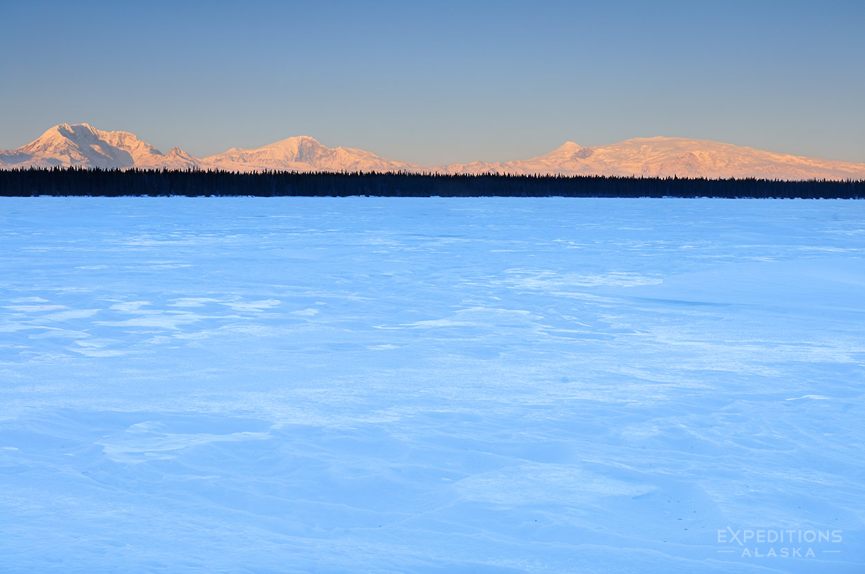
- 4 major mountain ranges converge in the park, the Wrangell, Alaska, Chugach, and St. Elias Mountain Ranges.
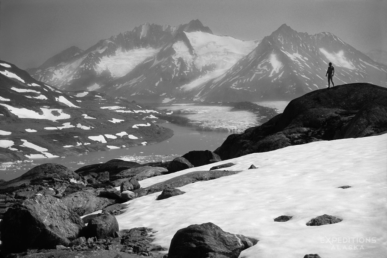
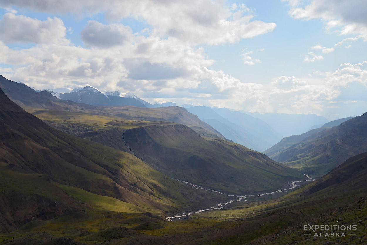
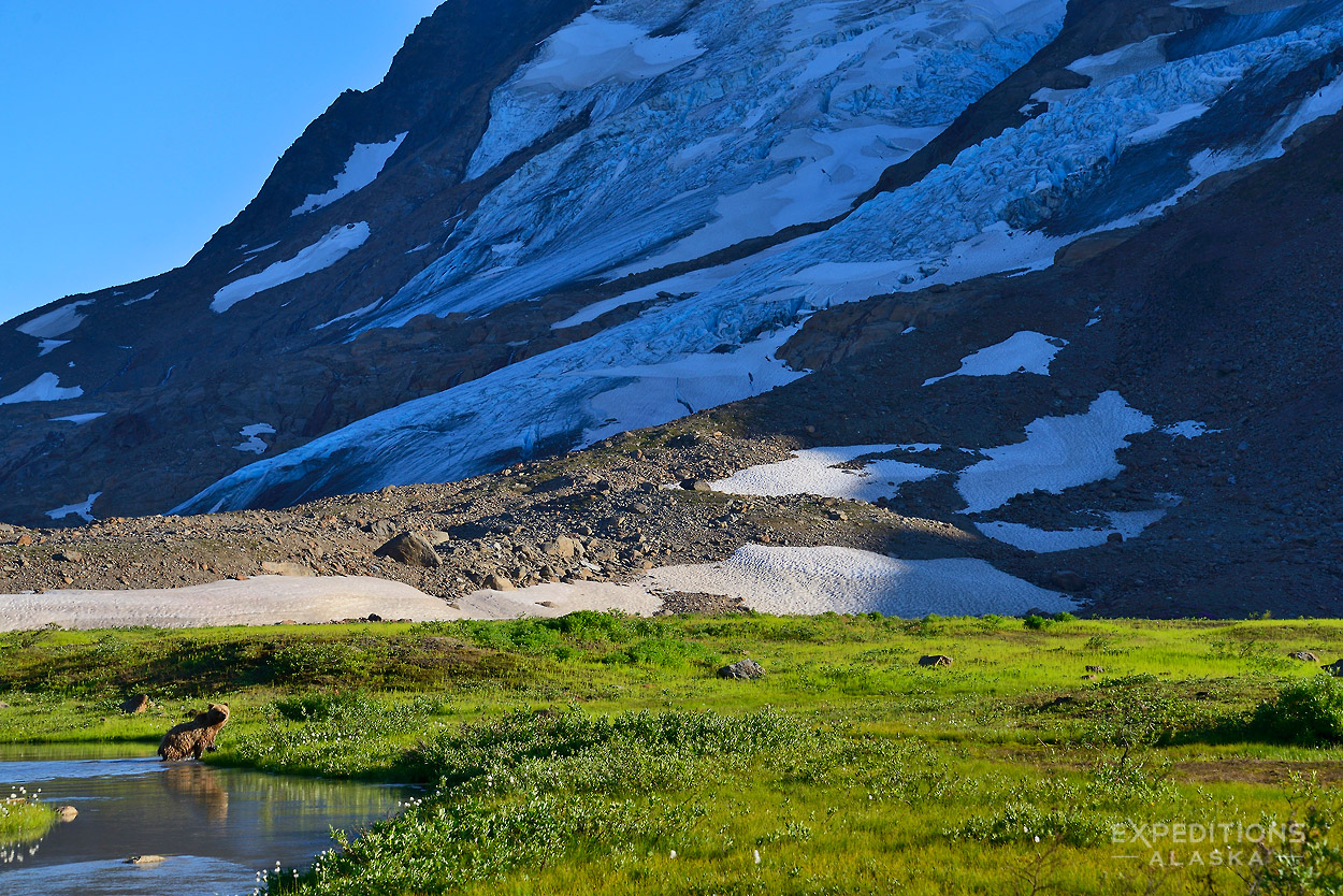
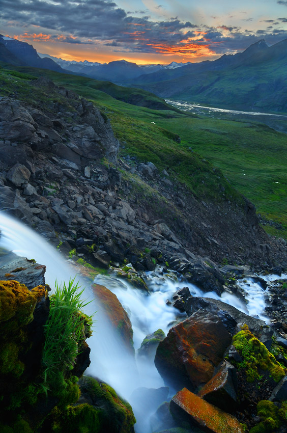
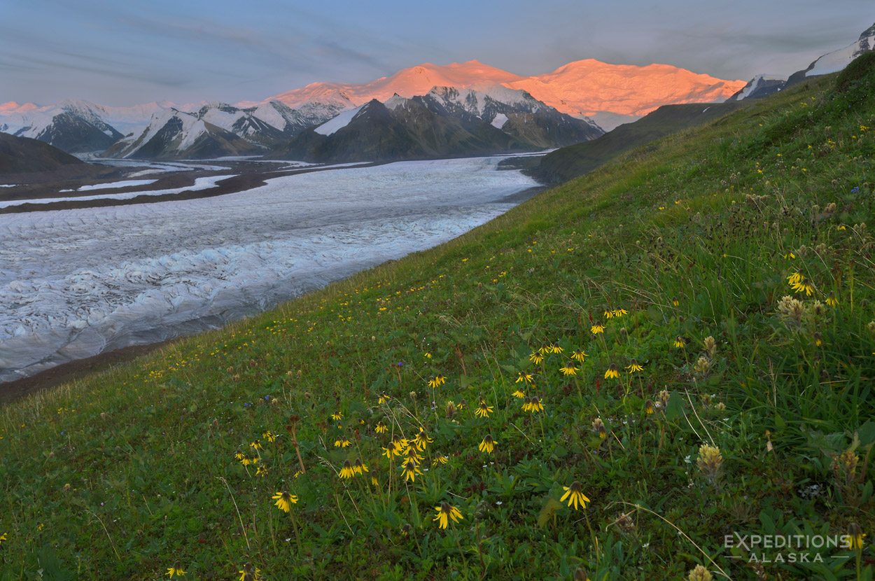
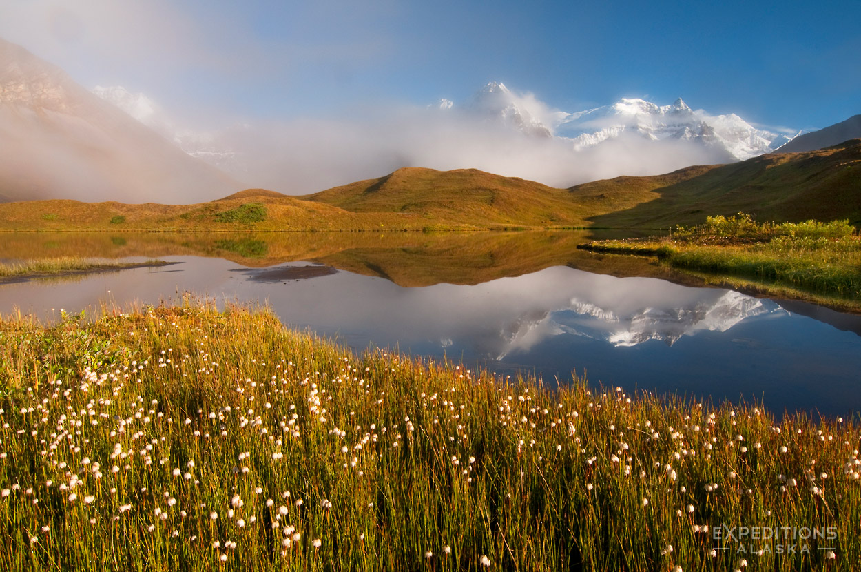
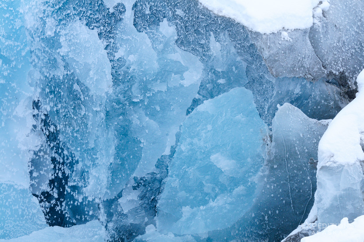
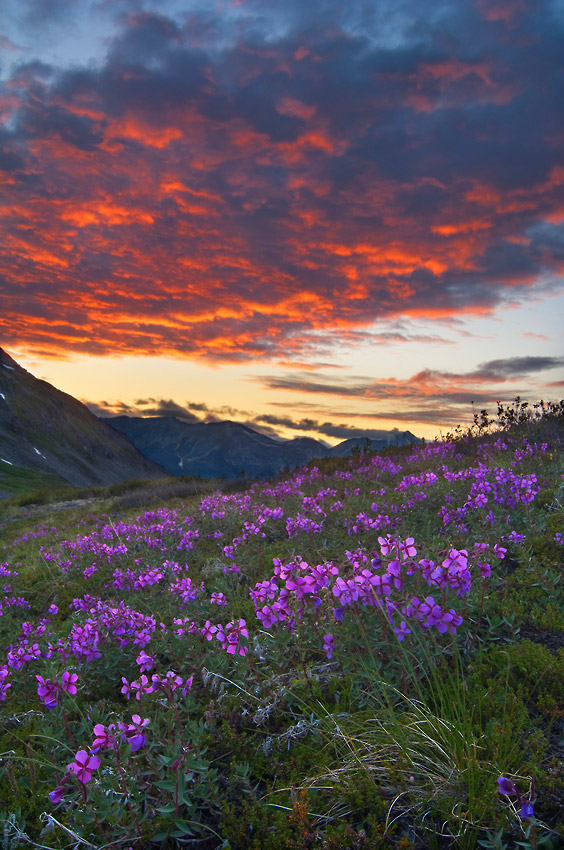
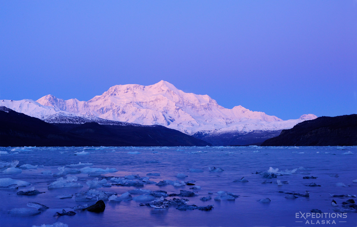
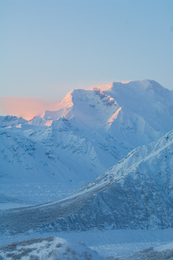
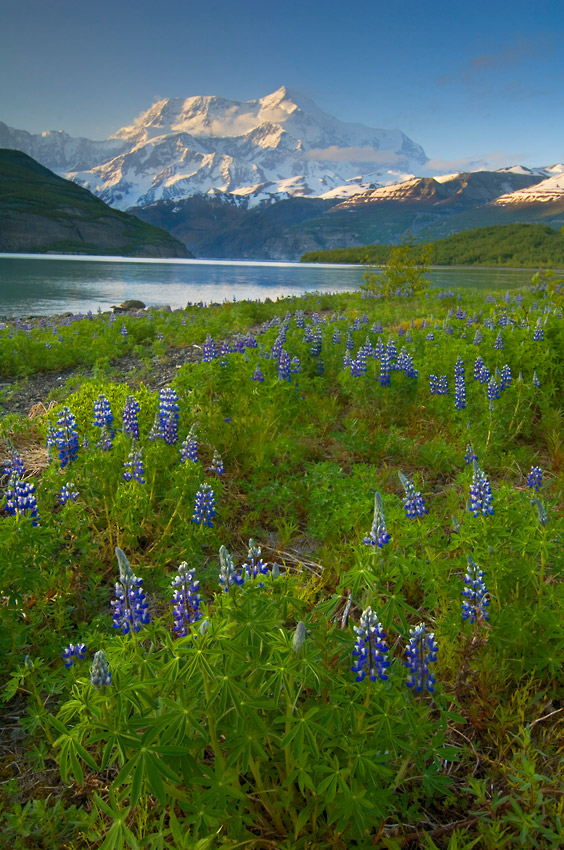
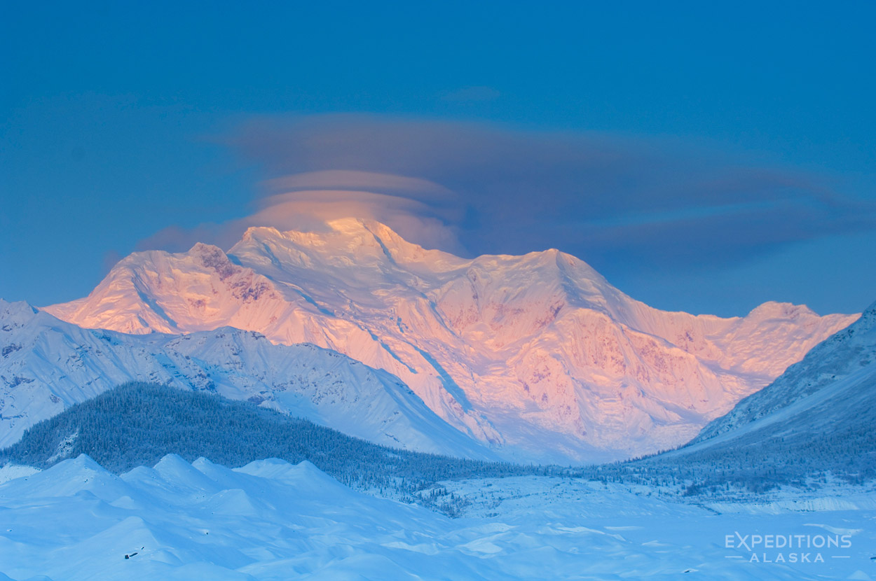
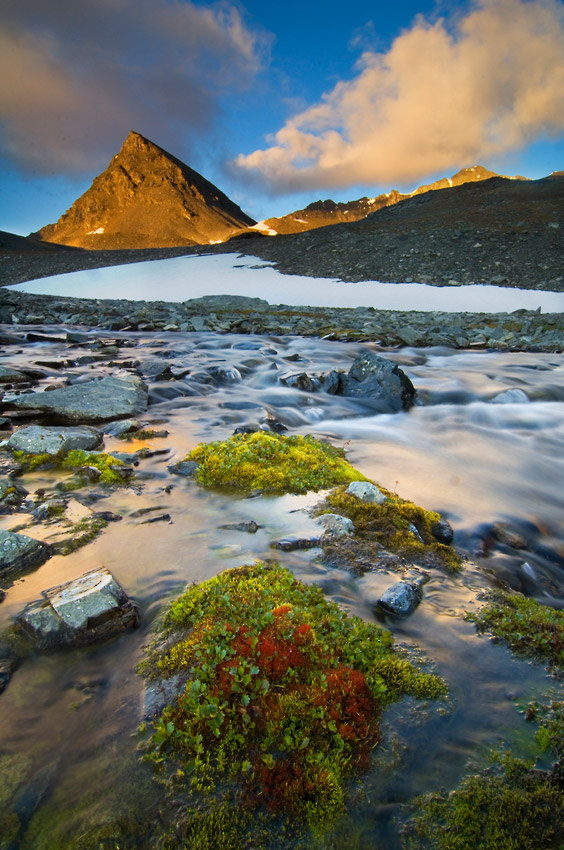
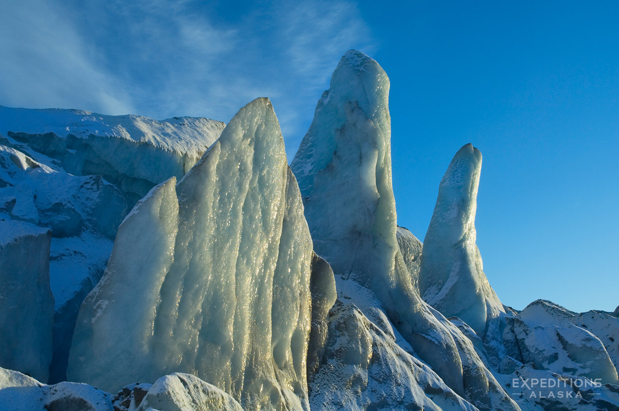
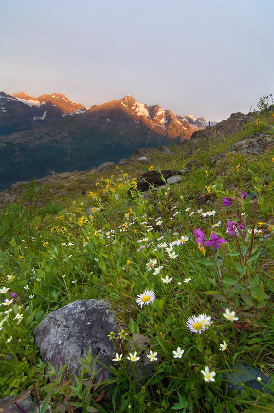
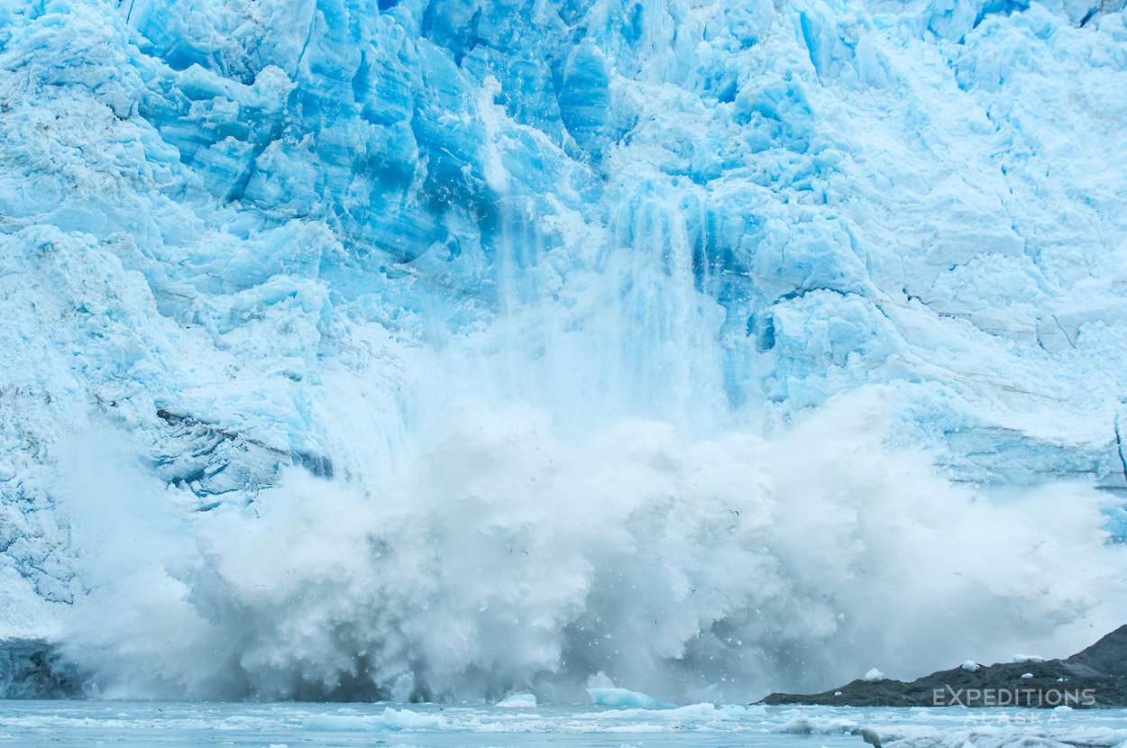
The landscape of Wrangell-St. Elias National Park and Preserve is some of the grandest I’ve seen anywhere. And I’ve backpacked through some pretty spectacular country. The size of the landscape here is so overwhelming, so magnificent in its wildness; the diversity of the terrains, the ecology, and the geology of the place is constantly changing, constantly providing us with something new to experience.
Wrangell St. Elias National Park is nearly 6 times larger than Yellowstone National park, at 14 million acres of wild, remote, gorgeous country. Established as a National Park in 1980, the area was proclaimed a World Heritage Site in 1979. Together with Glacier Bay National Park, Wrangell St. Elias adjoins Tatshenshini-Alsek Provincial Park and Kluane National Park in Canada to form a 24 million acre wilderness, the largest internationally protected area in the world. The entire region is part of the World Heritage Site.
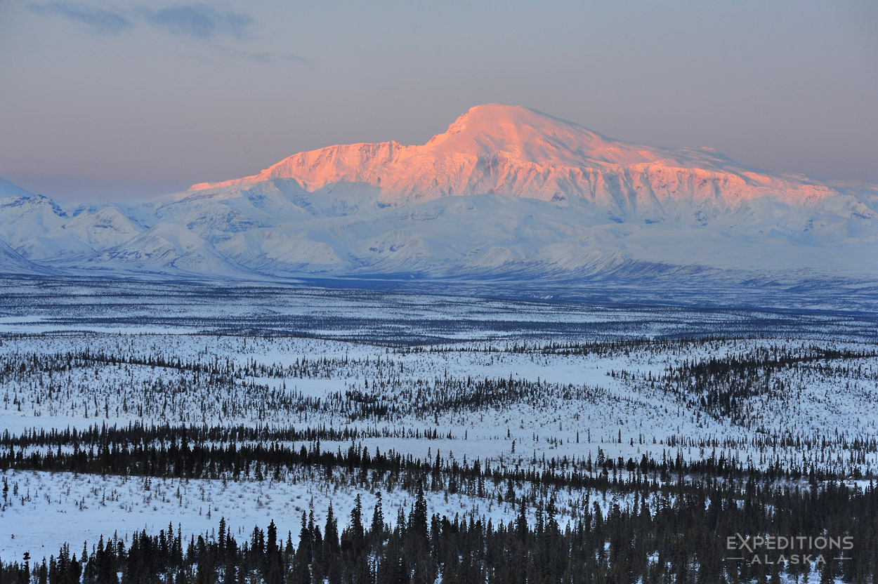
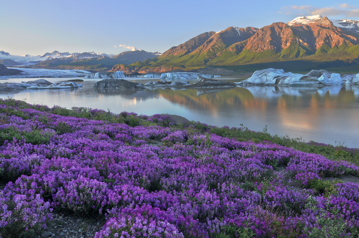
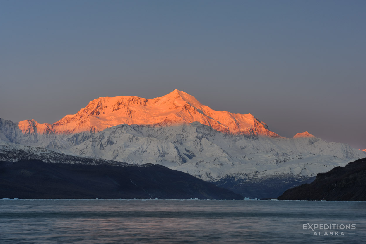
So what do you get for all these big numbers? Big mountains, big glaciers, big rivers, big country! Wrangell St. Elias National Park is home to 9 of the 16 highest peaks in the United States, including Mt. St. Elias, and Mt. Blackburn. Mt. Logan, the highest peak in Canada, and second highest mountain in North America to Denali sits right over the border and is clearly visible from much of the park. Other commonly seen mountains include Mt. Sanford, Mt. Bona, Mt. Drum, and Mt. Zanetti. Nowhere in North America stand a comparable range of big mountains.
The park is generally divided into 2 regions for backpacking, the northern and the southern areas. This is basically because of access to the park is most commonly made through the McCarthy Road, from the park’s western border of the Richardson Highway, or the Nabesna Road to the north, off the Alaska Highway. Both areas provide a wealth of options for great hiking.
The southern side puts you deeper into some very rugged mountains, is more glaciated, and generally wetter and hence has denser vegetation. The southern region also gets more visitation.
The north side hiking is more often in the boreal forest, or up on broad open plateaus like the Jaeger Mesa, or Capital Mountain. Both regions offer spectacular scenery and impressive views of the mighty mountains.
Learn more about Wrangell-St. Elias?
Sign up for the newsletter
"*" indicates required fields