What The People Say
Trip Highlights
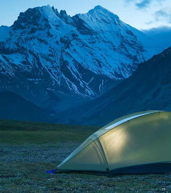
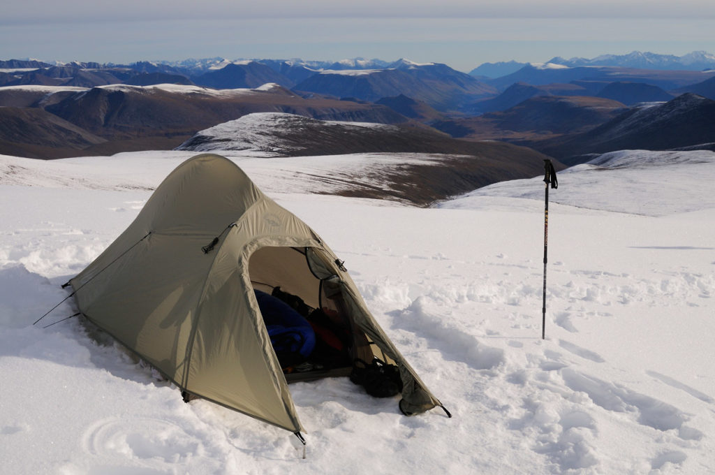
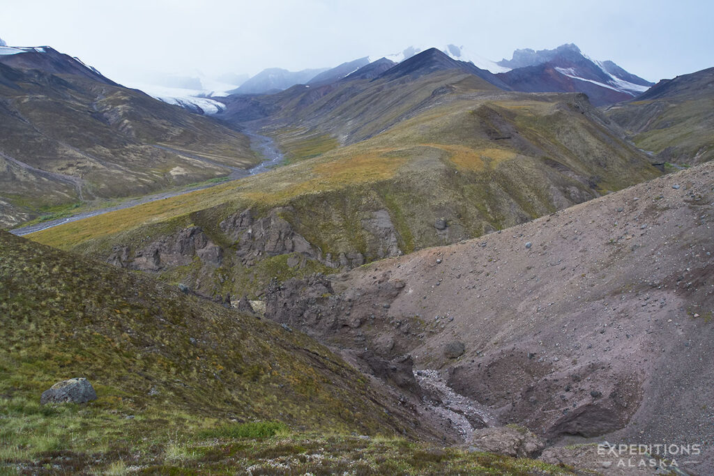
THE CAMPING
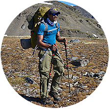
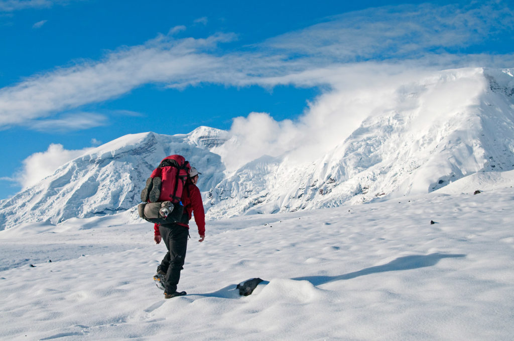
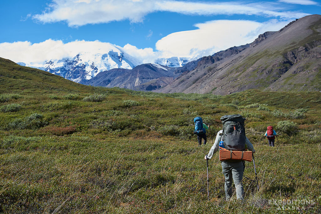
As with all backpacking trips, it’s a mix. But mostly, high, open, subalpine terrain. A tent needs to be sturdy and durable here.
There are a number of great sites for basecamping in the area. We can camp up by the face of Mt. Jarvis, we can camp in the spruce forest down near the Copper River, or out on the broad gravel bars of Jackson River. Take your pick.
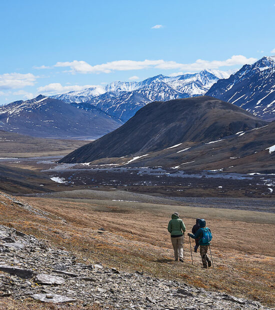
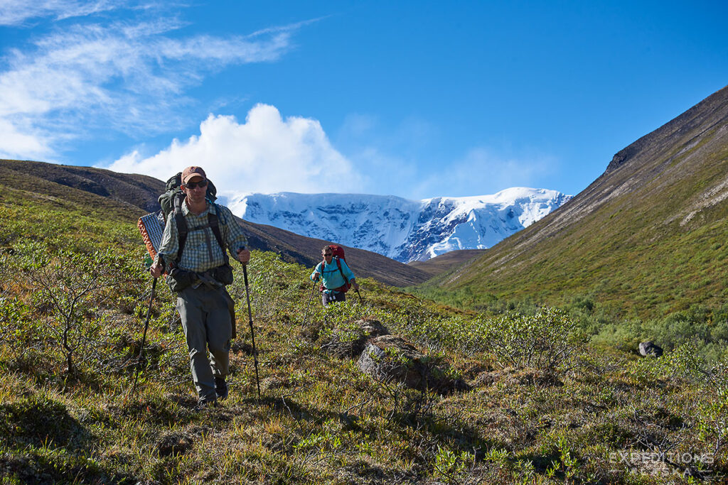
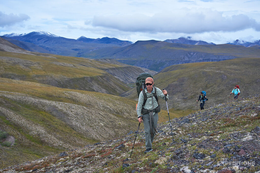
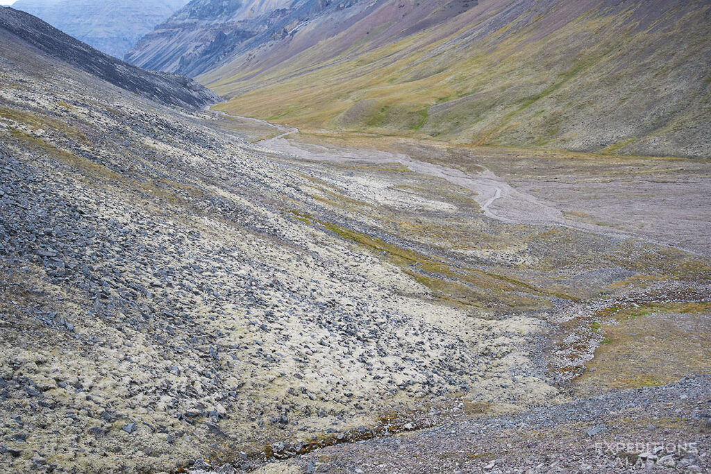
THE WALKING
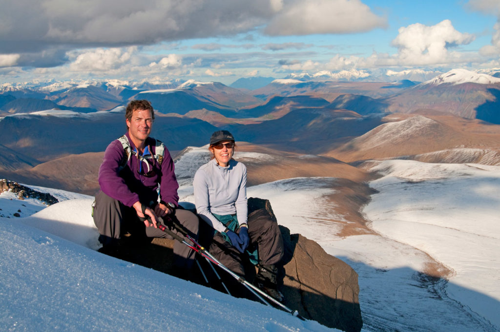
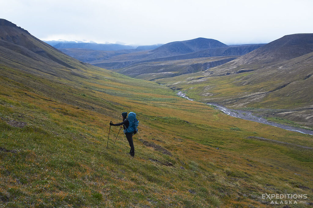
Easy-moderate. Most the terrain is high open tundra. Great to explore and wander. Or sit back and soak in the view.
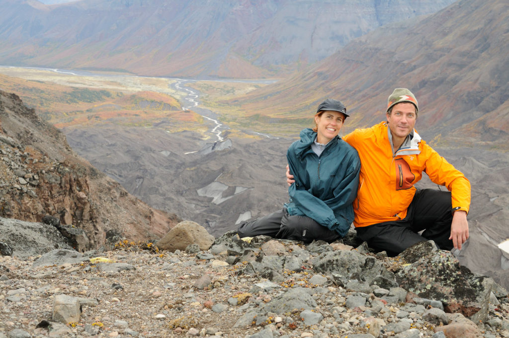
This is an exceptional backpacking trip in an exceptional place.
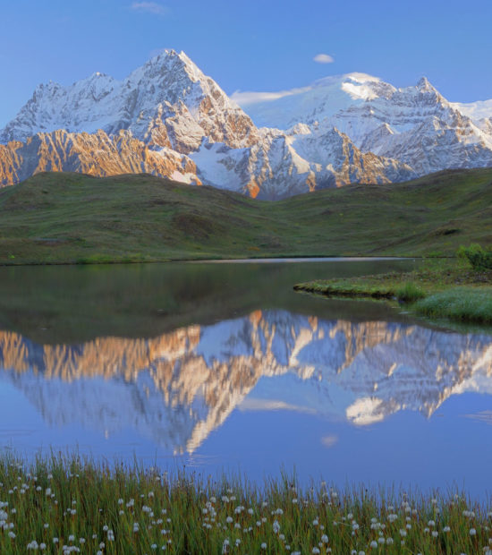
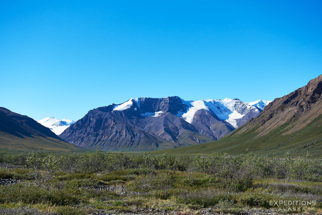
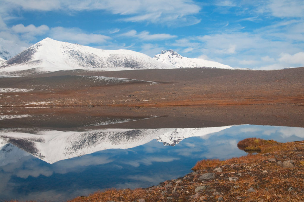
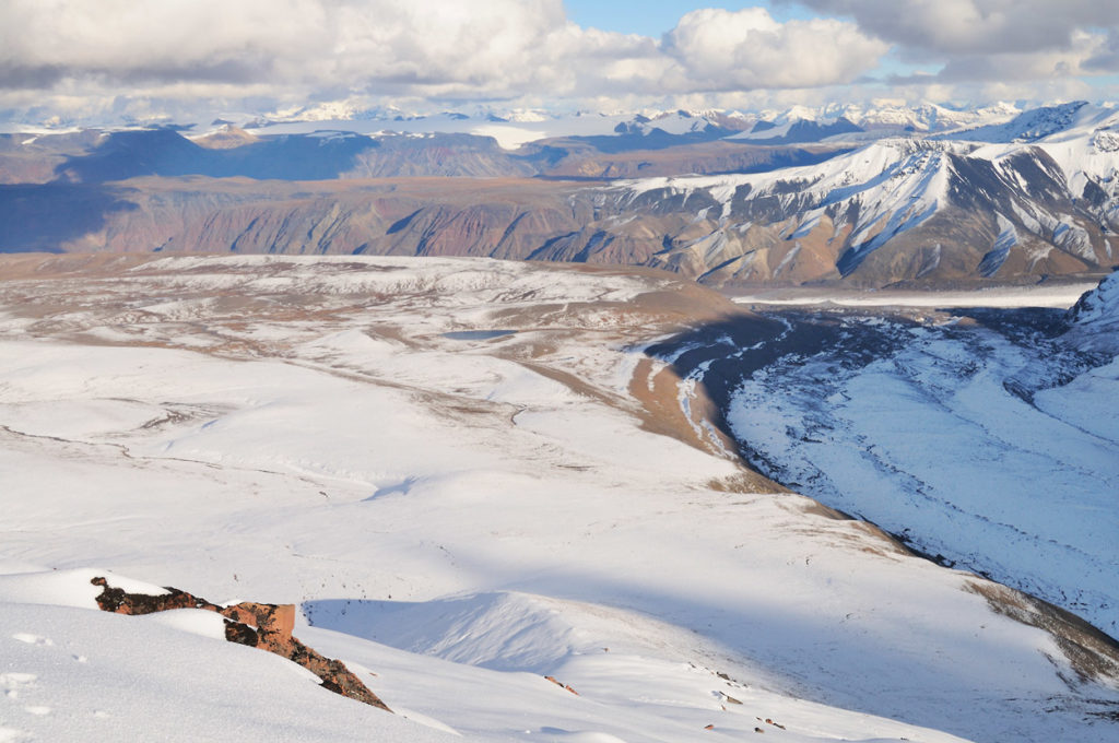
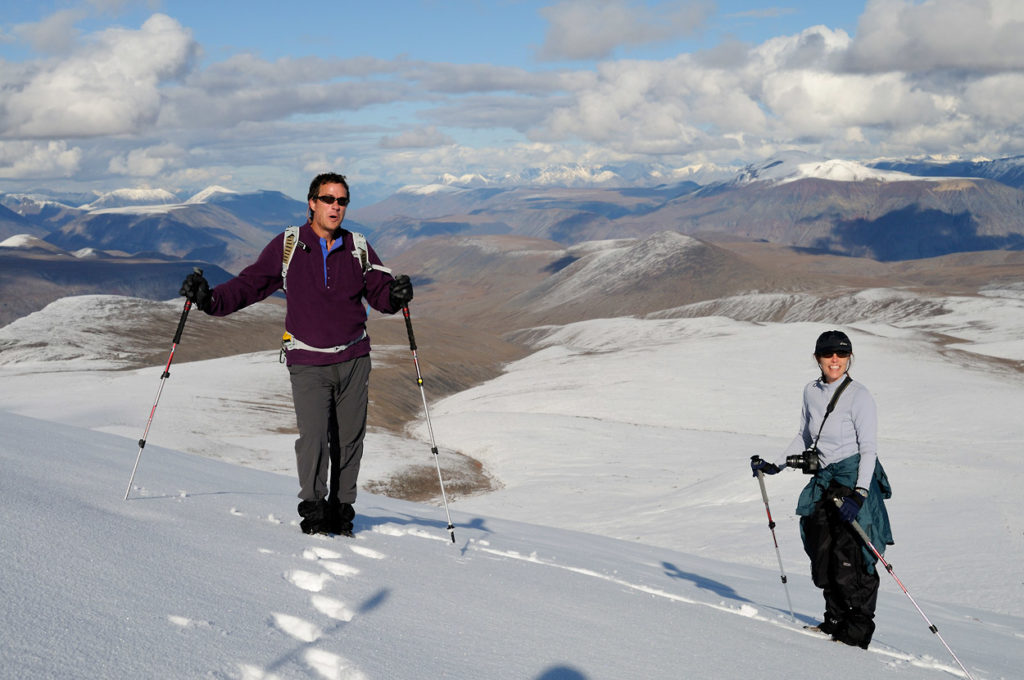
THE VIEWS
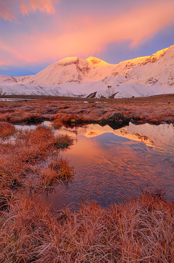
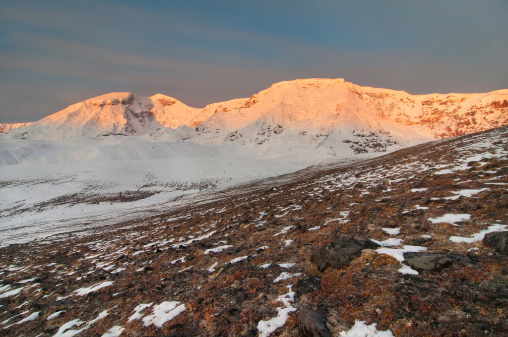
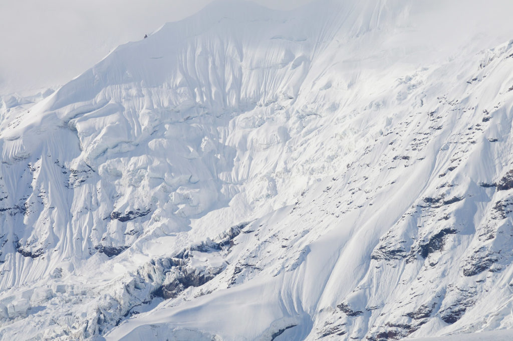
Early on, it’s all about Mt Jarvis. Rising over 5000′ above the surrounding Wrangellia Plateau, Jarvis dominates everything. Two peaks (distinct enough to qualify as separate two “thirteeners”) and a jagged, ice covered vertical face make this view something to behold.
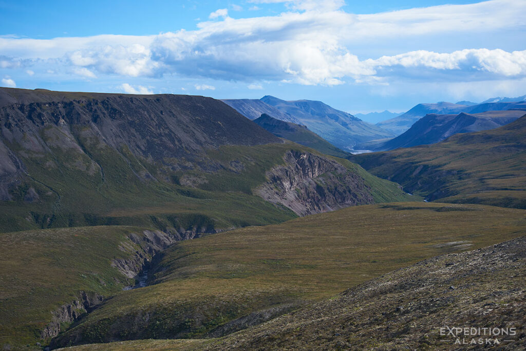
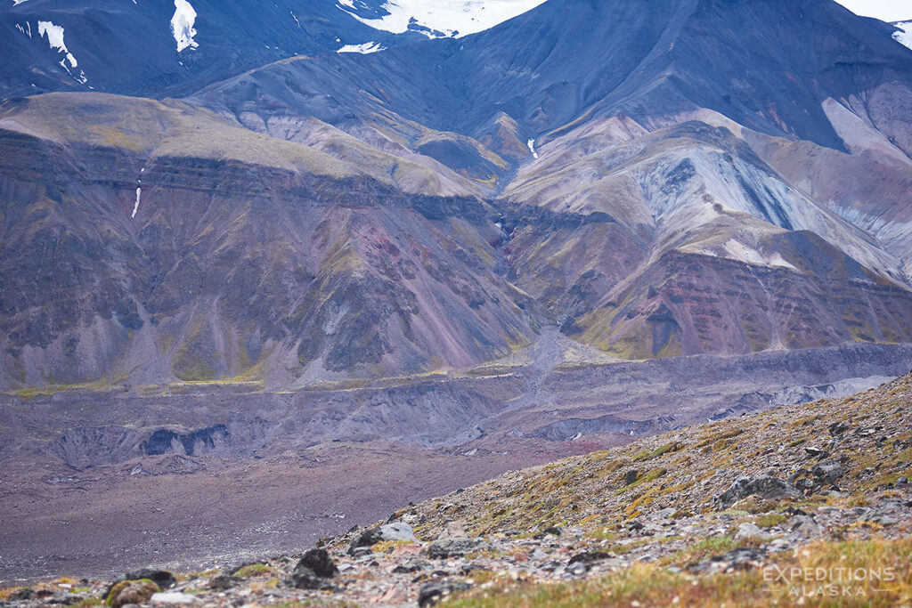
Turn 180 degrees and cast your eyes on a feast of endless hills and plateaus and valleys. The Wrangell Mountains slip away beneath you toward the eastern edge of the Alaska Range and on in to neighboring Canada beyond. You simply can’t see far enough here.
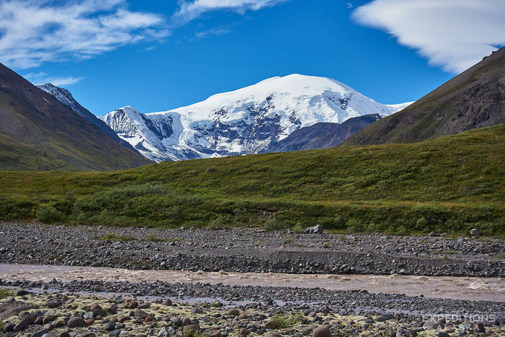
The end of the trip it’s all about Mt Wrangell, Mt Sanford and the Copper Glacier.
Trip FAQs
-
How challenging is this trip?
Not too challenging. The hiking is very doable even for most, even for novice backcountry travelers.
This doesn’t mean “easy”. Carrying a backpack, laden with a week’s worth of gear, is hard. Going up hill is really hard. But by most metrics for our backpacking trips here in Alaska, this one is right in the middle.
Obviously weather in the high country is always a possible mechanism of concern. It’s not uncommon to snow at 8000′ in Alaska during the summer.
-
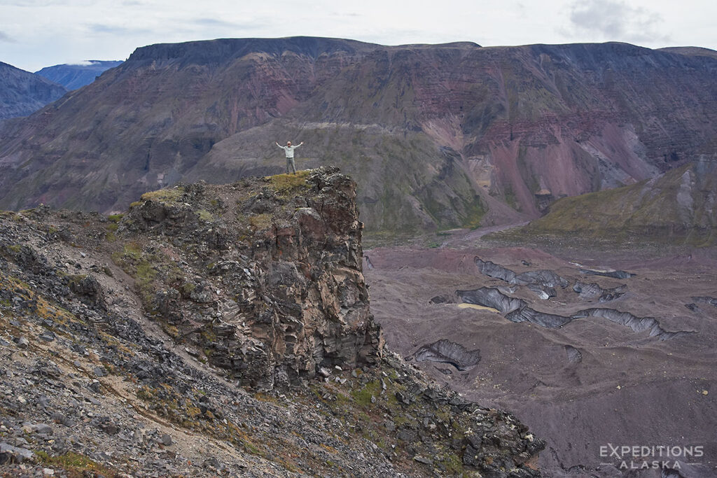
Terrain Challenges?
We descend a narrow gorge that has a few steep little bits in it, so watch your footing. But it’s very doable for most hikers.
We have very little bushwhacking on this trip.
A couple of small creeks to cross.
No super big climbs or gnarly bits.
-
What can you tell me about the weather?
Obviously weather in the high country is always a possible mechanism of concern. It’s not uncommon to snow at 8000′ in Alaska during the summer.
We’re literally in the shadows of some of the biggest mountains in the country, and this is Alaska. Don’t expect a prediction or an “average temperature” to be very useful.
-
Is there a Basecamp option available?
Not so much a basecamp option, we put this one down as .
That’s mostly basecamping, but you need to be able to move camp and carry your gear once or twice. So pack accordingly (a backpack) and be ready to carry it.
You’re not going to be able to camp right by where we land, so be packed and capable of backpacking a couple miles at least. Then we can camp and enjoy the area before heading back to our landing zone again.
I run both backpacking trips and basecamp trips in Wrangell-St. Elias National Park. Either is a great choice.
-
Is it buggy?
Not generally.We’re high enough that we’re out of bug country, for the most part.
On the other hand, if you choose a trip extension like packrafting down the Jacksina River to Nabesna, you’ll likely run into some mosquitoes en route, particularly July/early August.
-
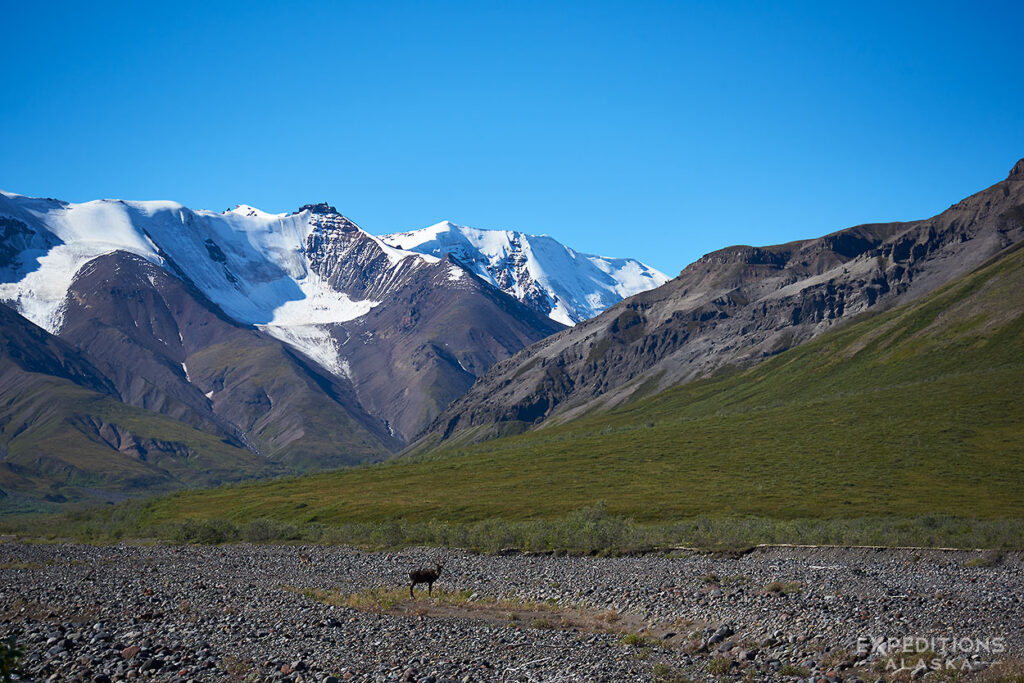
What wildlife will we be likely to see?
Possibly Dall sheep. Maybe caribou. I’ve seen both those species up here. Grizzlies do venture up to this area, but not routinely. We sometimes see moose along the Nabesna Road as well.
Small critters like arctic ground squirrel and marmots or pikas are likely as well. Red fox sometimes as well.
-
Why do so few people venture to this location?
Nabesna doesn’t have quite the same tourist infrastructure set up as, say, McCarthy & Kennicott. Hence, it draws far fewer people. But the hiking here is really every bit as stunning and in some ways more amenable to a diverse and wider group of adventurers.
Looking to really “get away” and find some solitude? The north side of the park (Nabesna side) is amazing. Looking to traverse some rugged and wild terrain with epic views of these really magnificent Wrangell Mountains? North side wins again!
-
Do you have a Gear Check List?
Oh yeah. Right here
Upon your reservation I’ll also send out a detailed Trip Information Packet with more than enough information on gear to keep you busy. Until then the above check list is a good outline of what you need.
-
How big does my backpack need to be?
Way too subjective to be a simple FAQ here. In the interest of keeping this simple, 65L is a good backpack for most of our trips (5-10 days). Anything smaller and you need to have your gear system dialed.
Is it doable to do a 10 day backpacking trip with a 45L backpack? Yes. Does it typically work well? Not at all.
A more thorough discussion of appropriate backpack size is on the blog.
-
I Have More Questions
I know you do. I do as well.
I recommend starting with the General Trip FAQ page
More questions? Email me or call me and we’ll go through them.
Upon your reservation I’ll also send out a comprehensive trip information packet that covers just about everything and more you might imagine about your trip.
Options
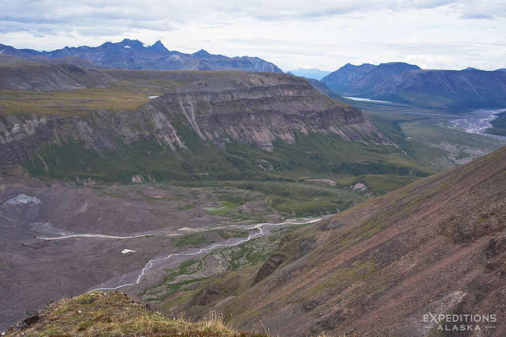
Jarvis Plateau is a great location to explore. Wile away the hours, or days, and soak in the view. Or mosey down off the plateau in a very easy backpack to the Jackson River and a pickup there.
This trip, like so many others, offers an endless array of options. We can make the trip as short and easy or long and adventurous as you’d like. It’s possible to do a longer 8-10 day hike and link this up with the Tanada Peaks to the north or with Mt Gordon and the Jaeger Mesa to the south.
The longer the hike the more hurdles like bigger river crossings are encountered. Longer hikes are more suitable for stronger and more experienced hikers.
Trip offers great basecamping and hiking, wonderful backpacking and a really nice combination of both.
Trip Logistics
We travel from Anchorage to Glennallen, and then fly in to the backcountry.
Saunter our way up to the Jarvis Plateau area, then hike through the alpine country to a pass we call “The Silent Fortress”.
Back to the low country, and over to a small lake for the pickup.
We then fly back to Glennallen. Enjoy some hot food in town, and then travel back to Anchorage on the final day.
If conditions are good, we just might get an awesome view of the Wrangell Mountain Range as we depart for home – always a treat!
Mount Jarvis was named in 1903 for Lt. David H. Jarvis of the U. S. Revenue Cutter Service, who led the Overland Relief Expedition to aid a whaling fleet trapped in Arctic Ocean ice off Point Barrow in 1897–98.
Where Are We?
Trip Itinerary
I put this itinerary online here to give visitors to the site a more detailed look at this trip and what options it might include.
What we work hardest on is tailoring trips to the specific interests and abilities and experience of the people who hike with us. No 2 trips are the same. Where possible, we don’t use the same campsites trip to trip. We often even vary the route.
We try to be flexible with how far we hike each day, how many days we spend in the backcountry. What time we get up in the morning, for example, is largely up to the trip participants (unless for some reason I feel we need to be up and on the trail by a particular time – this rarely happens).
You May Also Like