
No. No road crosses Wrangell-St. Elias National Park. Two gravel spur roads enter the park from the Alaska highway system, and both dead-end inside it. The McCarthy Road runs 60 miles from Chitina to the Kennicott River footbridge on the south side. The Nabesna Road runs 42 miles from Slana to a small camp on the north side. The two don’t connect.
If you came to this question after looking at a map and wondering whether you can drive through the park to somewhere else, the answer is that the park’s interior is roadless and no through route exists.
The road network in detail
McCarthy Road (south side)
- Length: 60 miles of gravel
- Starts at: Chitina, off the Edgerton Highway spur from the Richardson Highway
- Distance from Anchorage to Chitina: about 190 miles, paved, 4.5 hours
- Drive time on the gravel: 2.5 to 3 hours
- Endpoint: Kennicott River footbridge (cross on foot to McCarthy)
- Access reaches: McCarthy, Kennecott National Historic Landmark, Root Glacier, scenic views of Mt. Blackburn and the Kennicott and Chitina river valleys
Nabesna Road (north side)
- Length: 42 miles of gravel
- Starts at: Slana, on the Tok Cutoff (Alaska Route 1)
- Distance from Anchorage to Slana: about 260 miles, mostly paved, 5.5 hours
- Drive time on the gravel: 1.5 to 2.5 hours
- Endpoint: a small camp past which the road becomes impassable to most vehicles
- Access reaches: Skookum Volcano Trail, Trail Creek and Lost Creek trails, Caribou Creek Trail, Rambler Mine, the Nabesna community, access to the Mentasta and eastern Wrangell ranges
Driving from one side to the other (around, not through)
You cannot connect the two sides of the park by car except by going all the way around through the highway network. The route from McCarthy back to Slana runs: McCarthy Road out to Chitina, Richardson Highway north to Gakona, Tok Cutoff east to Slana, then the Nabesna Road south. The full McCarthy-to-Slana drive is roughly 230 miles of mixed pavement and gravel, and takes most of a day.
Some visitors do this loop to see both sides of the park in a single trip. Most pick one side and commit.
What you can see from each road
Each road accesses different country and different highlights.
The McCarthy Road gets you to the historic Kennicott district, the front of Root Glacier, and walking-distance views of Mt. Blackburn and the upper Kennicott Glacier. About 70% of the park’s annual visitors come in this way. The historic and glacier-access value is concentrated here.

The Nabesna Road gets you to upland tundra, big river valleys, the eastern Wrangell volcanic peaks, and reliable wildlife sightings (caribou, moose, sometimes Dall sheep on the visible ridges). Roughly 30% of park visitation. Quieter, with fewer services. Closer to a backcountry feel even from inside a vehicle.
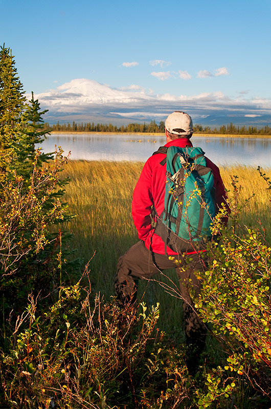
If you want to “see” the park as a whole
You can’t, by car. The park covers 13.2 million acres. The two roads combined cover about 102 miles, all on the park’s edges. Everything beyond them is wilderness reached on foot, by bush plane, by raft, or by sea kayak along the Gulf of Alaska coast.
The most efficient way to take in the park’s scale without leaving the developed area is a scenic flight from McCarthy. Air taxi services run flights over the Bagley Icefield, Mt. Blackburn, the upper Wrangell volcanoes, and back. An hour in the air covers terrain a road network couldn’t approximate.
Maps and current road conditions
- NPS official park maps: nps.gov/wrst/planyourvisit/maps.htm
- Alaska 511 (state DOT road condition reports): 511.alaska.gov
- McCarthy Road conditions are maintained on the Alaska DOT page for the road