Hey Folks,
One topic I thought I might write about here that readers might enjoy has to do with backcountry navigation for backpackers, pack rafters, etc; every off-trail backpacker has had issues with getting lost, even if only briefly, and being unsure of direction. So we learn how to read a compass and topographic map. We learn how to pay attention to our terrain and landscape. We learn about geology and landform features to help us navigate. We learn how to pay attention to the sky, and the sun.
Some of us even look skyward after dark and learn to read the constellations.
More recently, we’ve acquired and learned GPS technologies, for pinpoint accuracy, and for better navigation in adverse situations (clouds and fog, flat, featureless terrain, etc). But even this amazing GPS stuff is years old now. So what’s the “new” navigation technology?
When Topo Maps Don’t Cut It
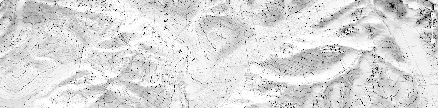
On a recent sojourn down around the Malaspina Glacier and along the coastal reaches of Wrangell-St. Elias National Park, I looked around at the available topo maps before setting out. They really aren’t so great. They’re old and the landscape in such a dynamic region, with a crashing coastline and an ever-changing glacier, is different year to year. The topos didn’t seem like the way to go.
But what DID seem to be a good call, and turned out to be a super-helpful tool, was google earth. Here’s the kind of thing we printed out:
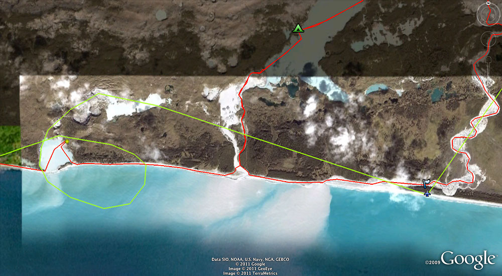
Satellite Imagery in the Field
So we printed out a handful of these “aerial photos” and that’s how we navigated and found our way around. It’s not perfect, and it’s not foolproof, but the imagery is a lot more current and useful than a topo map here. I carried both topo maps AND the satellite imagery, and the topo maps simply stayed in my pack the whole trip.
I hadn’t tried using imagery like this to navigate with before, but it worked out great.
The satellite photos showed us a lot about the ground; the forest, the brush, etc, and were a great tool to have along. Where is water, what water is clear versus glacial silt, and so on were just a few of the things these images help with. Add a scale, and they’re a very helpful resource.
I wouldn’t use them in all situations, at all, but nor are a GPS or compass/topos perfect in all situations either. Tools are contextual, and in this situation, there was no better tool for the job than these google earth photos.
Give it a try.
Cheers
Carl